
Mobile Air Quality Monitoring in Houston, Texas


Help inform and protect your entire community with mobile monitoring.
In Houston, Texas, TD Environmental Services (TDE) implemented an innovative mobile air quality monitoring network for use on fleet vehicles. The City of Houston approached TDE to perform widespread hyperlocal air monitoring that would complement regulatory measurements. The city’s main goal was to use hyperlocal data to identify air pollution hotspots over six months. The City of Houston and the Environmental Defense Fund funded this project, both of whom have been at the forefront of mobile air monitoring implementation and research.
The complete system included 1) mobile sensor units, 2) data management and alerting, and 3) data oversight and analysis. Ten mobile sensor units measured PM2.5, CO, CO2, and NO2. The units are self-contained, requiring only a standard car outlet for power, and are easily magnetically mountable to most vehicles (buses, trams, trash trucks, fleet vehicles, etc.) that traverse the city. The routes chosen were opportunistic rather than planned, with monitors placed on the roofs of Houston Health Department radiation and lead response team vehicles that collected data as they went about their normal daily tasks across the city.

A mobile map of PM data collected by a vehicle.
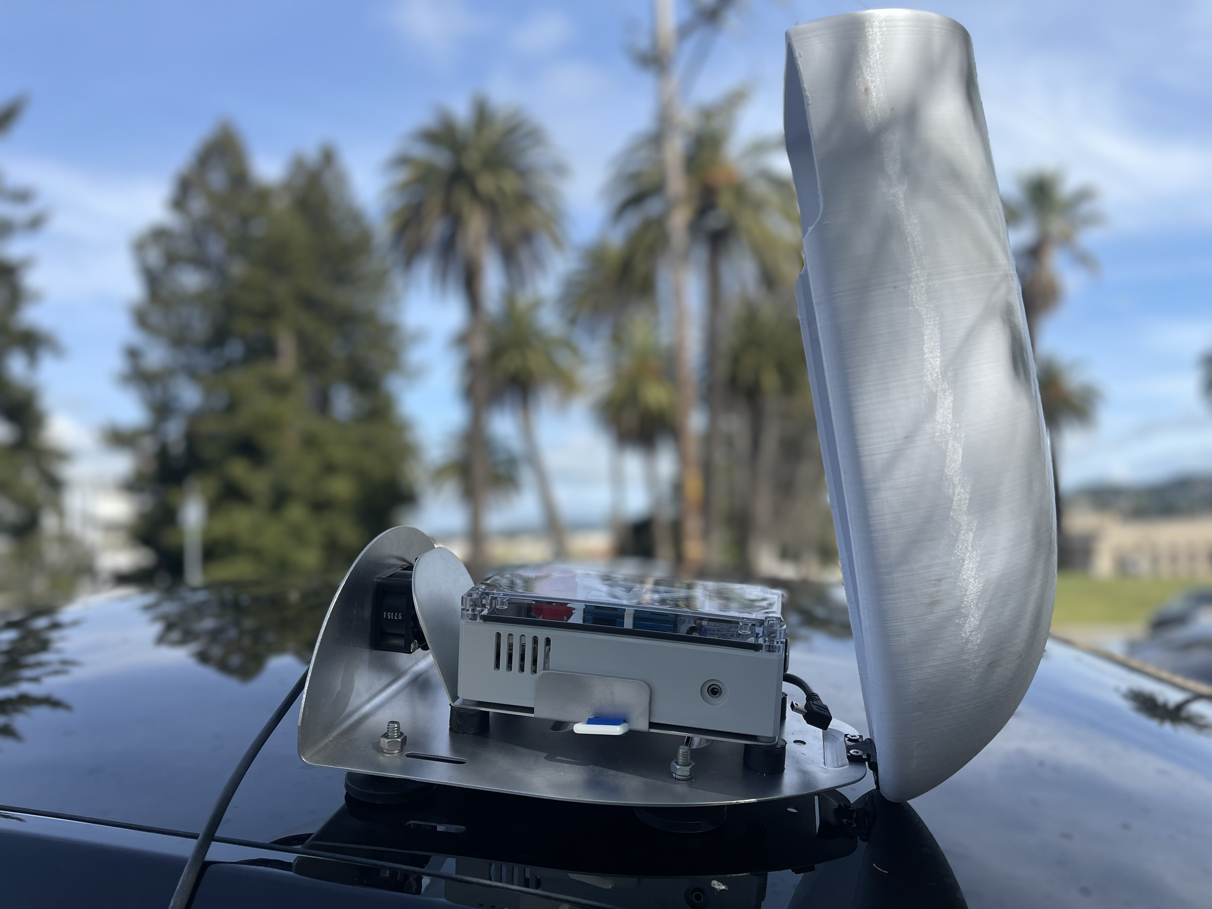
An open mobile sensing unit.
TDE developed the approach and managed the project. After an initial collocation and calibration of the units, vehicle drivers attended a short training and assisted in deploying the units on their vehicles. The services TDE provided included deployment, real-time data review, processing and display, calibration, and analysis to provide the city with a high-quality dataset.
The results indicated a few things:
- Vehicle choice matters. Only six monitors went out regularly, and of those six, there was a variety of actual vehicle utilization, affecting the amount of data obtained. The challenge with vehicle selection is that it is not always clear which vehicles will have higher utilization.
- The City of Houston used the PM2.5 data in a “control charts” program to identify hotspots.
- Data analysis methods with mobile data are significantly more complex than with stationary data. Many organizations are figuring out how to use mobile air quality data. For this project, TDE calculated the PM2.5 above background. This analysis shows “hot” and “cool” spots throughout the city (figure below), with streets showing higher than other streets, indicating a greater prevalence of PM2.5.

Delta PM values mapped on downtown Houston and the Buffalo Bayou area.
Mobile monitoring offers many opportunities to measure air quality anywhere at any time. As cities and countries around the globe continue to expand their monitoring networks, mobile sensing systems becomes an important option for detecting air quality changes at the hyperlocal level and in every community, helping identify hotspots and understand air quality on a more granular level.
Help inform and protect your entire community with mobile monitoring.